Arkansas River

Surfing in Salida: Day Trip Series: Part 4

By Nate Van Noord (RO Staff)

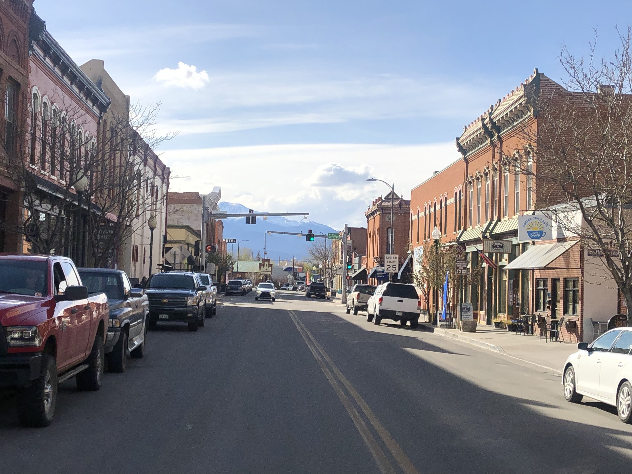
This past May (2023), on a Sunday afternoon, I ventured to Salida. A customer at Routes recommended riding S-Mountain, specifically a trail called Chicken Dinner. Much of the two hour drive hugged the Arkansas River. Highway 50 brought me right into historic, downtown Salida with a number of hundred year old brick buildings lining downtown.

View from the S-Mountain Trailhead

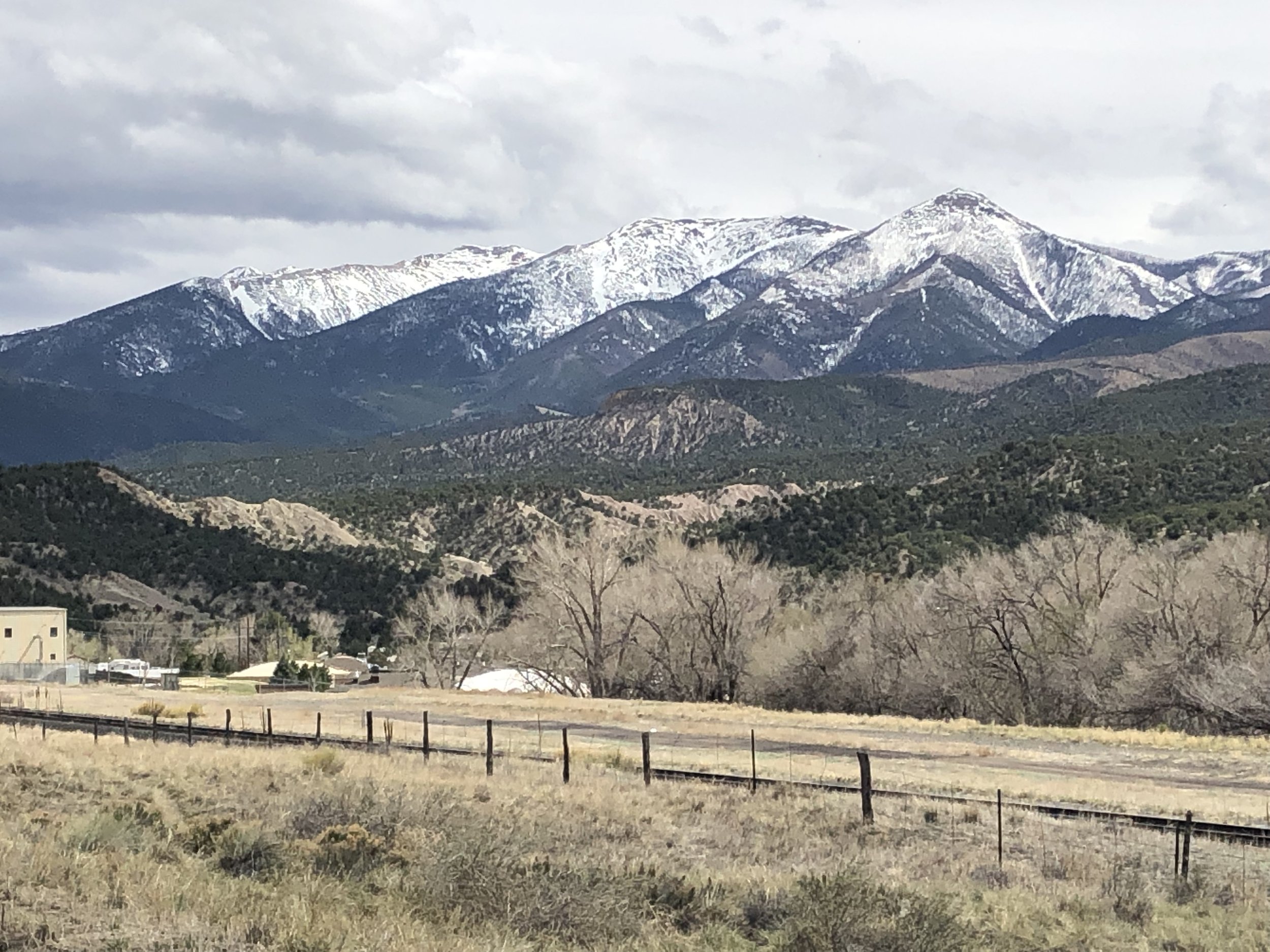
The parking lot for S-Mountain was just across the Arkansas River from downtown. S-Mountain rises 500 feet above town and the trailhead offered a color coded map of all the trails. After 10 minutes of climbing in my Crank Brothers flats, I already had great views of Salida and the snow capped mountains behind it. As I continued to ride, many of the trail intersections offered maps with ‘you are here’ markers. It was impossible to get lost! After riding for an hour, I made my way to Chicken Dinner and the flowy single track was very fun with lots of rollers and bermed turns.

Surfing at Riverside Park downtown Salida

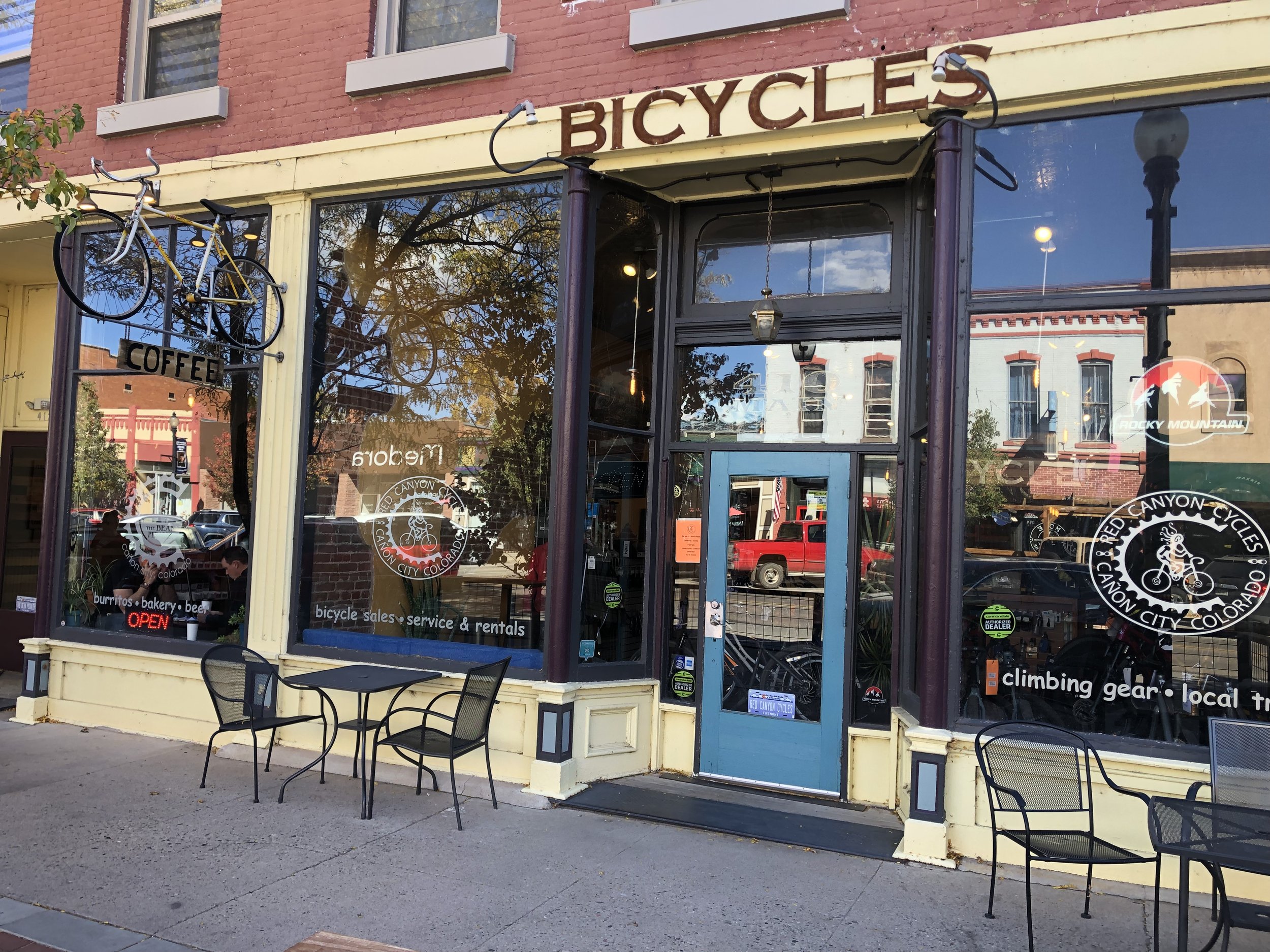
After my ride, I wandered around downtown Salida and it’s adjoining neighborhoods for a couple hours. Downtown was filled with bike shops, restaurants, parks, and lots of little artsy shops. The River cut through downtown and I watched kayakers, fishing boats, and surfers. (yeah, surfers!) The city created a wave in the middle of the Arkansas River and half a dozen folks were taking turns riding the bad boy. With downhill skiing a short drive away on Monarch Mountain, Salida offers just about everything!

Biking Oil Well Flats - Day Trip Series: Part 2

My mountain biking mentor, Bob, moved back to Florida summer of 2022. (Read story here). Before he left though, he had me hanging on for dear life down Captain Jacks and roughed me up on the Black and Blue Loop at Ute Valley. But some trails we didn’t get to and he assignment them for homework. One was Oil Well Flats near Canon City.

Since Routes is closed on Mondays for our cold-season hours, I made a day trip. It was a little over an hour to the trailhead and on a weekday in October, no other cars in the parking lot. The night before, I downloaded the MTB Project app. There was a detailed map at the trailhead, but heard from another Routes staff of a lot of turns and forks.

The trails were rated mostly blues and blacks. The blues were technical - both going up and coming down. I had to hike-a-bike on at least a few occasions. But it gave me an opportunity to stop and take in the views of the Pike-San Isabel National Forest in the distance. The route took me a little under 2 hours. I skipped most of the blacks, otherwise I might still be out there.

After, I drove into Canon City and had lunch at the Bean Pedaler, a coffee shop and bike shop in one. The huge brownie baked that morning was delicious. I sat and people watched other customers coming in - locals stopping in for a quick cup and tourists just finishing a rafting trip.

I walked around Canon City’s historic downtown and was pleasantly surprised by the old architecture, all the restaurants, and cool little shops. Come to find out it’s the 3rd oldest city in Colorado. And with The Royal Gorge and Arkansas River nearby, I’m sure they receive plenty of visitors.

Next time Bob is back in town, we’ll have to head down there for a ride and a brownie. I’ll show him I understood the assignment.